A Personal Travel Plan for Every Runner

The AJ Bell Great North Run is the world’s biggest half marathon, with 63,000 runners taking on the 13.1 miles from Newcastle to South Shields. Since 2025, runners and spectators have planned their race-day travel with the official ‘You. Smart. Thing.’ travel assistant, built around the event itself. From walking directions to each start wave to every option home from the finish, it gives everyone one trusted place to plan the day, wherever they’re travelling from.
One race. Two towns. A travel plan for every start wave.
The Challenge
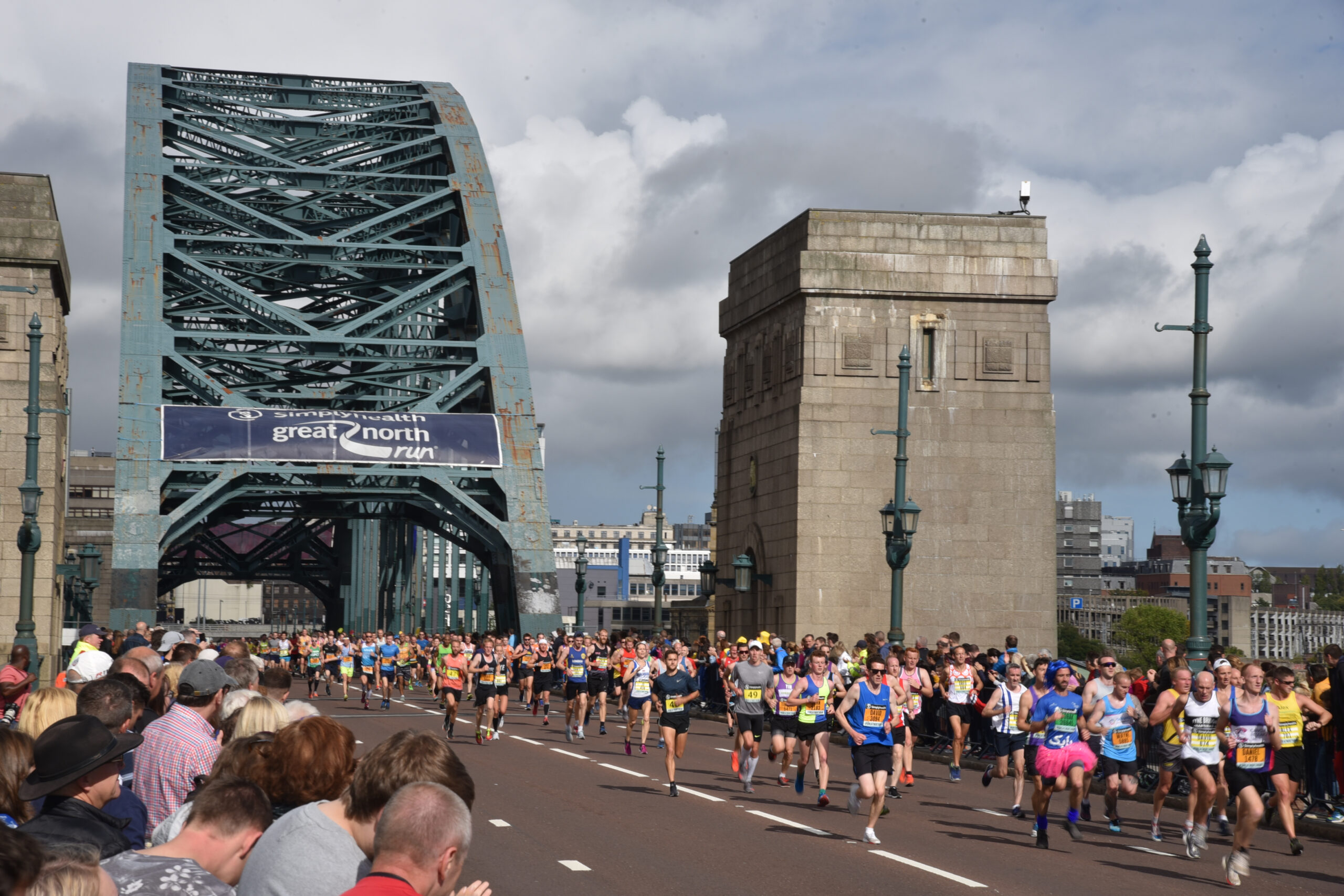
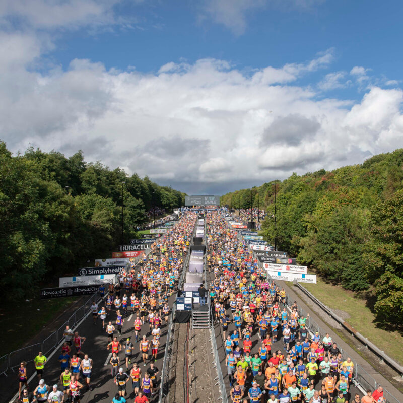
The Great North Run is a point-to-point race. It starts on the Central Motorway in Newcastle and finishes on the coast in South Shields, 13.1 miles away. On race day, roads close across Newcastle, Gateshead, and South Shields, and many runners are taking part for the first time. Every runner faces two very different trips: to the right start in the morning, and home from a different town in the afternoon.
The Solution
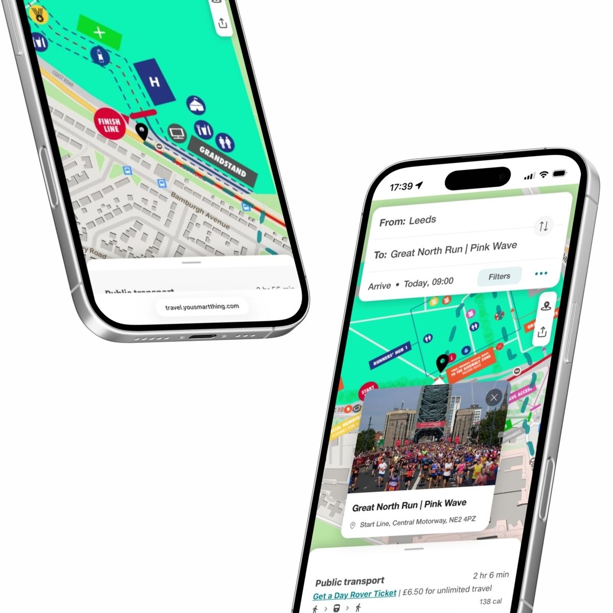
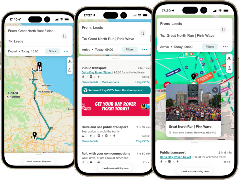
Runners set off in colour-coded start waves, each with its own entrance. The travel assistant gives runners and spectators one official place to plan the day, with walking directions to each start wave, event services such as the R1 shuttle back to Newcastle, Metro, bus, and ferry options, and live road closure information. It’s built into the official app, the event guide, and the spectator guide.

The Result
In its second year, every start wave received its own personalised travel plan link in the pre-race emails, guiding each runner to the exact entrance of their wave. New start and finish maps and live road closure information showed only the options that were running. The official spectator guide called it “the smartest way to plan your event day travel”. The full case study shares the results across two years.
From start line to seafront
Mass participation events bring thousands of people to one place at the same time, often from far away. At the Great North Run, the travel assistant covers both ends of the day: detailed start maps showing each wave’s access point and assembly zone, and finish maps showing the medal collection, interchanges, and every way home, from the R1 shuttle to the Shields Ferry.
What the case study uncovers
- Where it started, and what year one showed about how runners plan their trip.
- How a personalised travel plan link reached every start wave in year two.
How start and finish maps guided runners to the right entrance and home again. - How first-time and more experienced runners planned their travel differently.
- How the balance of public transport, walking, and driving changed across two years.
- How one consistent source of travel information supported transport operators and host city partners.
”“The smartest way to plan your event day travel.”
Spectator Guide 2026AJ Bell Great North Run
What This Means for You
When travel information is built around the event itself, down to each start wave, people arrive calmly, organisers understand demand, and lower-carbon options become the easy choice. The full case study shows how that worked at one of the world’s biggest running events.
Based on the ‘You. Smart. Thing.’ travel assistant deployments at the 2025 and 2026 AJ Bell Great North Run.
Case Study: Final Mile
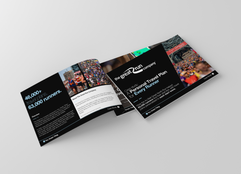
The full AJ Bell Great North Run case study is coming soon. Sign up and we’ll send it to you as soon as it’s published.